


Wednesday, September 02, 2026
57.0°F

Significant weather pattern change bringing cooler days
by CALEB PEREZ
Staff Writer | September 2, 2026 3:15 AM

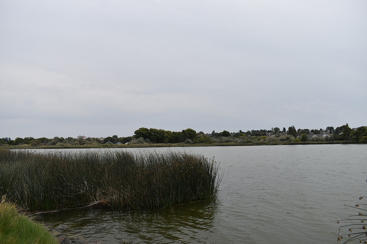
MOSES LAKE — The shift into fall weather has already begun to hit the Pacific Northwest this week as temperatures are set to cool significantly. These weather conditions are set to bring rain, wind and chances of temperatures of less than 36 degrees to many parts of Washington, according to a press release from the National Weather Service Spokane. 

“We’re seeing a pretty slow-moving and large weather system move into the area,” said Valerie Thaler from the NWS Spokane in an interview Tuesday afternoon. “This will kind of remain over the Pacific Northwest starting Tuesday night and remaining over the area through Saturday and even on Sunday.” 

Thaler said the coolest temperatures are set to last Wednesday through Friday with highs in the low 70’s and upper 60’s across the region. The Grant and Adams County areas will avoid the coldest temps in the area, set to be 46 in Quincy on Friday. 

The first wave of cooler temperatures will begin Wednesday with a slight chance of morning thunderstorms in southeast WA and northern Idaho with peak timing around sunrise to 10 a.m., according to the press release. Renewed slight chances for thunderstorms will occur in the afternoon for the Cascades, southeastern WA, and northern ID.  

Thursday will see increasing rain with slight chances for thunderstorms in the Cascades, northern mountains and ID Panhandle north of I-90. While temps are set to get warmer over the weekend, the cooler weather will return for Labor Day.  

“We’ll see temperatures drop, and we’ll see rainy conditions, and we’ll see high relative humidity,” said Thaler. “It’ll bring lower fire risk across the inland northwest and the Columbia Basin as well.” 

Despite this, she said the threat of fire season is still prevalent as warm and dry periods could still occur through September and October. 

Windy conditions this week in central WA will also bring a minor threat of fire weather and patchy blowing dust. Sustained southwest/west winds could reach 15 to 25 mph with gusts around 25-35 in the afternoon. 

“People still need to be vigilant with fire starts,” said Thaler. “We’re not completely out of the woods for the fire season, although this is a good sign this early in the year.” 

This shift is not abnormal for early September as average temperatures have been recorded at highs of mid to upper 70s for Ephrata, Thaler said. 

“It’ll be a couple degrees cooler than normal, but not completely off the wall abnormal,” she said. “This time of year, it’s more uncertain especially as we get closer into the fall, we see larger swings of temperatures and precipitation on a year-to-year basis.” 

With the incoming harvest, Andy McGuire, the Grant County Director of the Washington State University’s Agriculture extension said the cooler temperatures forecast won’t pose a problem for farmers and their crops with many being close to maturity at this point in the season. The cooler temps could actually be beneficial to farmers as opposed to hotter weather experienced in previous years at this time. 

The only concern farmers might have is the incoming rainstorms set to hit the area since that does not bring ideal conditions for those harvesting crops like hay. 

“Generally, the rain can slow down their harvest, but temperatures won’t affect the harvest,” said McGuire.