Thursday, April 25, 2024
49.0°F

‘We are looking at the potential for record heat’

by CHERYL SCHWEIZER
Staff Writer | July 25, 2022 2:53 PM

MOSES LAKE — It being July and North Central Washington being desert country, it’s to be expected that it’s going to be hot sooner or later. And it will be hot, darned hot, although temperatures are forecast to moderate at least a little bit by the weekend.

Steven Van Horn, a meteorologist with the National Weather Service office in Spokane, said the Moses Lake and Wenatchee areas will be the first to experience the hottest temperatures, but it will get hot region-wide.

“There’s a very high heat risk for the central and north central parts of the state,” Van Horn said.

It won’t be as hot as summer 2021, which broke all-time records, but temperatures are forecast to top out in excess of 105 degrees.

“We are looking at the potential for record heat as well,” Van Horn said. “Thursday looks like it could be our hottest day. Wednesday is going to be really hot, too. Those are going to be our peak temperatures, from midweek to the end of the work week,”

The NWS has issued an excessive heat warning for the region, extending at least through Friday. Wednesday’s high is forecast at 106 degrees, with a forecast high for Thursday of 108 degrees. Friday’s high is forecast to be 107 degrees.

Low temperatures are not going to be that low, he said, the low temperature on Wednesday and Thursday is forecast to be 71 degrees.

Van Horn said research done by NWS staff after the 2021 heat wave indicated that temperatures inside a home lag behind temperatures outside. The study indicated that homes are hottest at around 10 p.m. after it’s started to cool off outside.

Temperatures are expected to start dropping by Sunday, with a forecast high of 99 degrees in Moses Lake. The 8 to 14-day outlook shows cooler weather on the way - maybe even below-normal temperatures in early August, Van Horn said.

“There is a signal for seeing relief from the heat,” he said.

The transition to cooler temperatures, however, will present another challenge.

A ridge of high pressure is responsible for the hot weather, and that ridge will start breaking down toward the end of the week, Van Horn said. That will bring with it the potential for wind - and possibly thunderstorms and lightning. Lightning and wind at the end of a hot spell increase the potential for fires.

“Something that we have to watch,” Van Horn said.

Cheryl Schweizer may be reached at cschweizer@columbiabasinherald.com.

photo

CHERYL SCHWEIZER/COLUMBIA BASIN HERALD

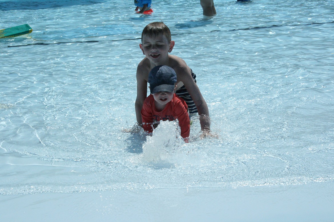
Roman Hibbard, front, and Jackson Hibbard crawl through the pool at the Surf ‘n Slide water park in Moses Lake Monday. The National Weather Service forecast is for hot temperatures all week.

photo

CHERYL SCHWEIZER/COLUMBIA BASIN HERALD

Joseph Beus, left, and mom Emilee Beus play in the pool Monday at the Surf ‘n Slide water park in Moses Lake. Temperatures will be high this week and Columbia Basin residents are encouraged to keep heat safety in mind.

photo

CHERYL SCHWEIZER/COLUMBIA BASIN HERALD

Swimmers take their ease on the Lazy River ride at the Surf ‘n Slide water park in Moses Lake Monday. High temperatures at or near record-breaking levels are expected this week.